Spatial Restoration
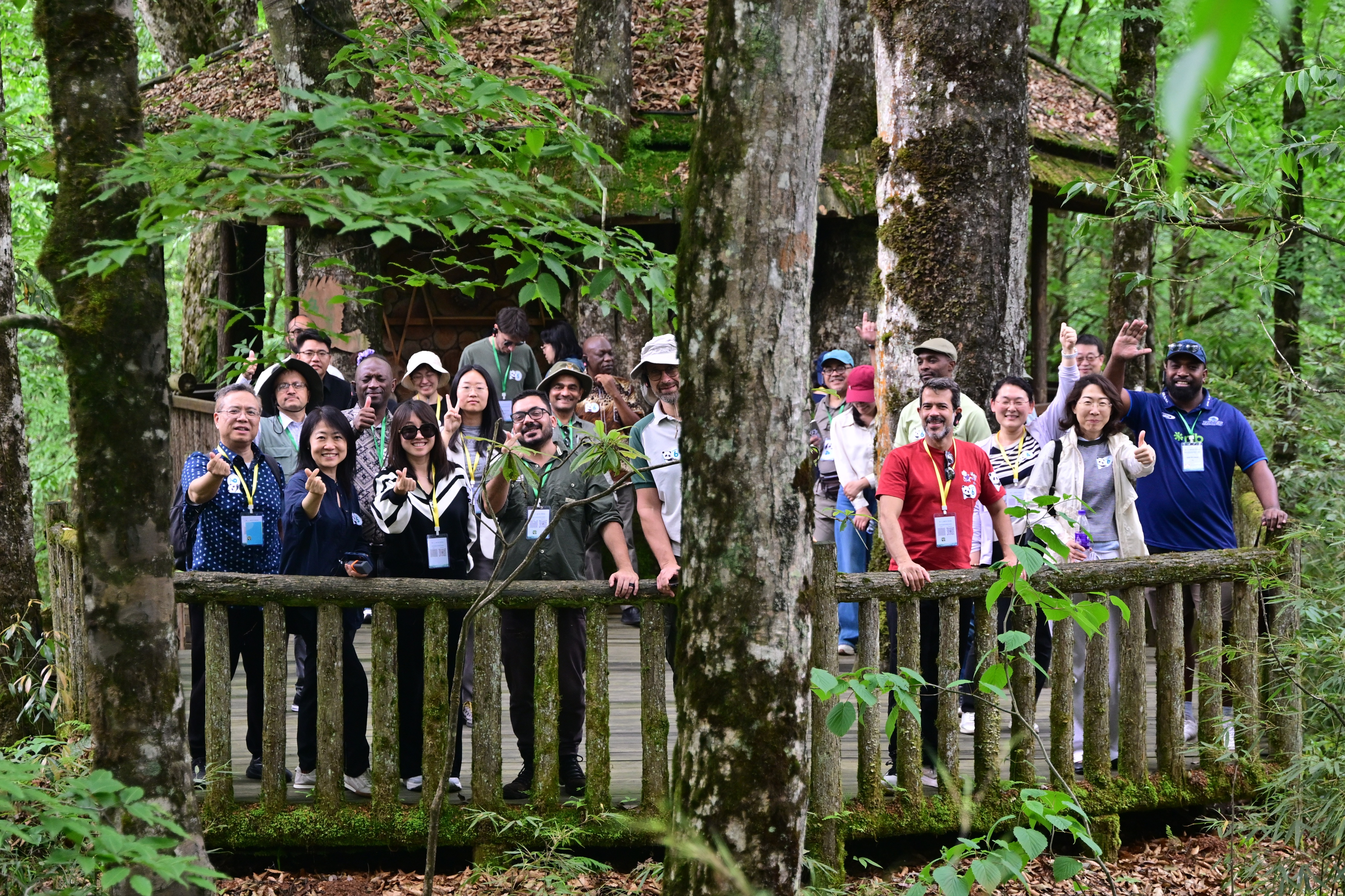
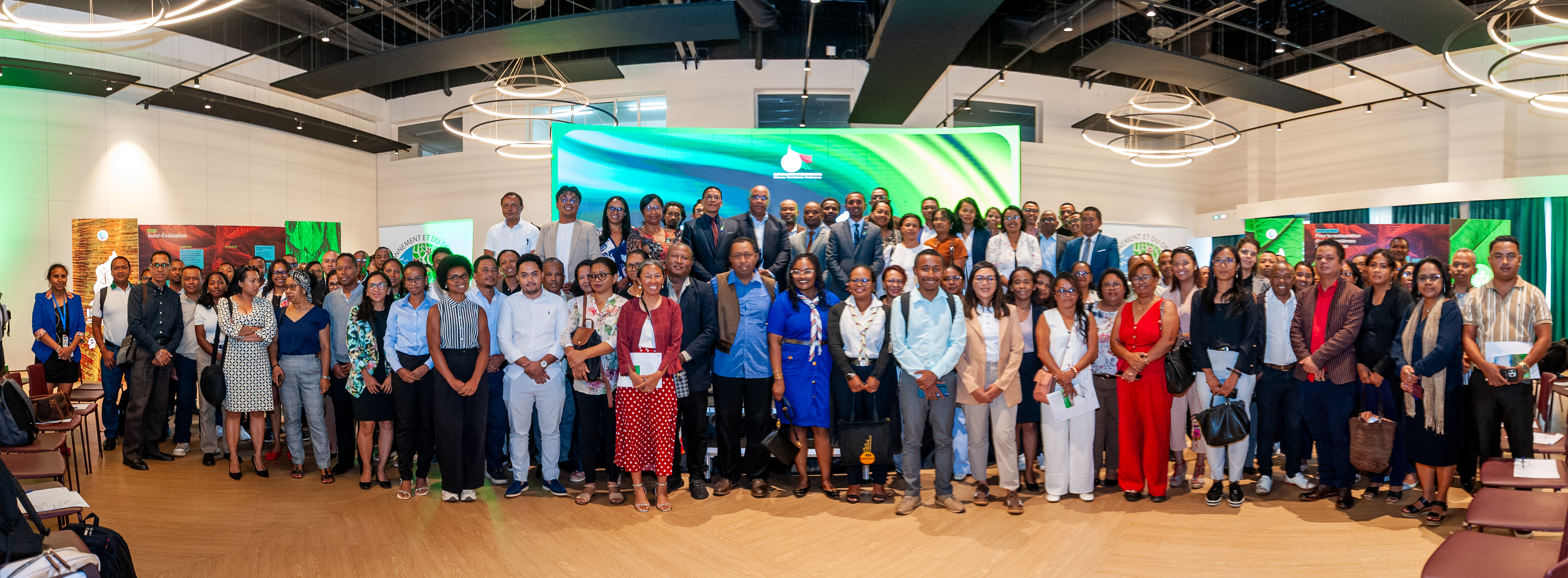
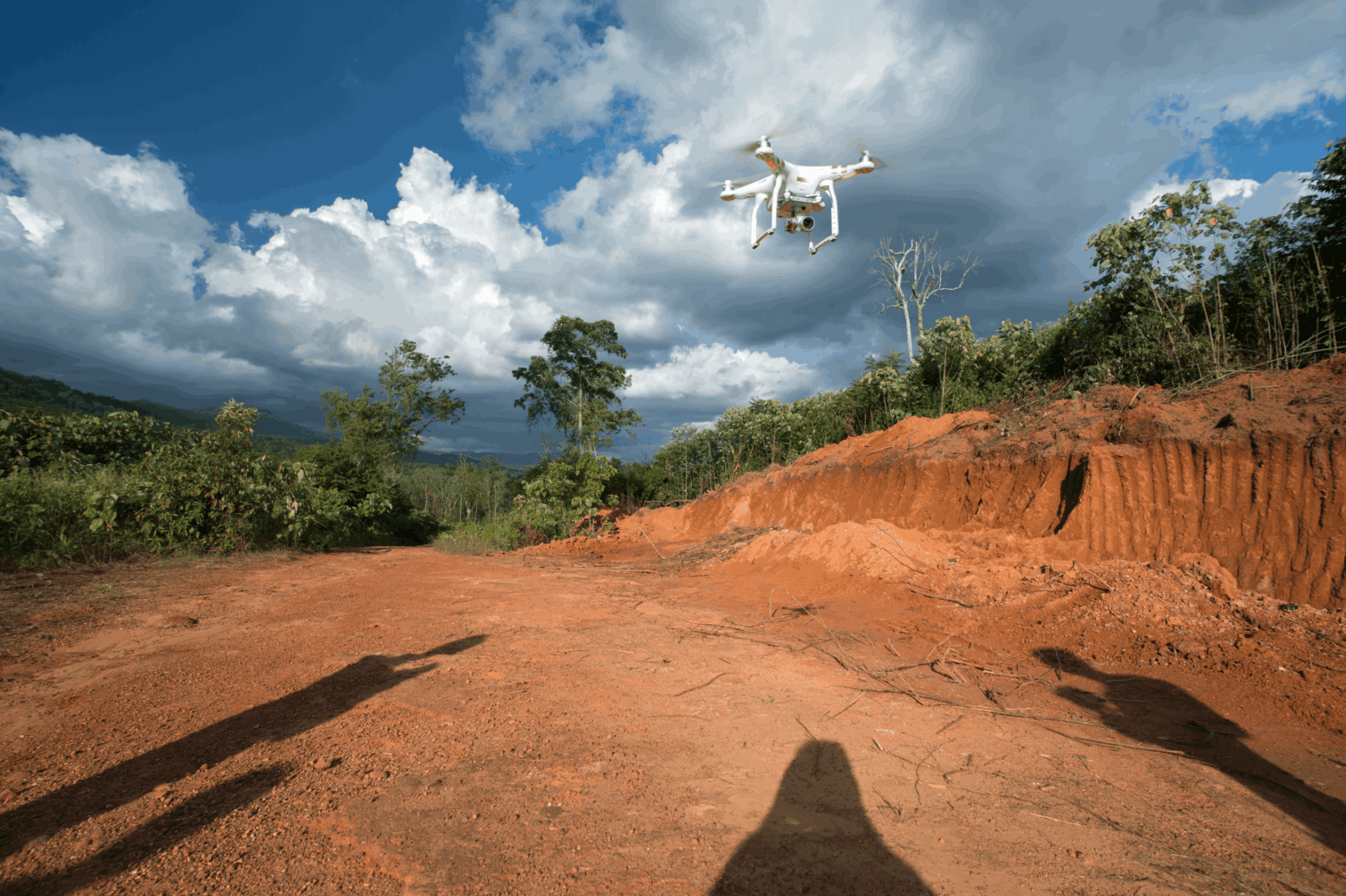
Photo credit: © Flavio Forner / Conservation International
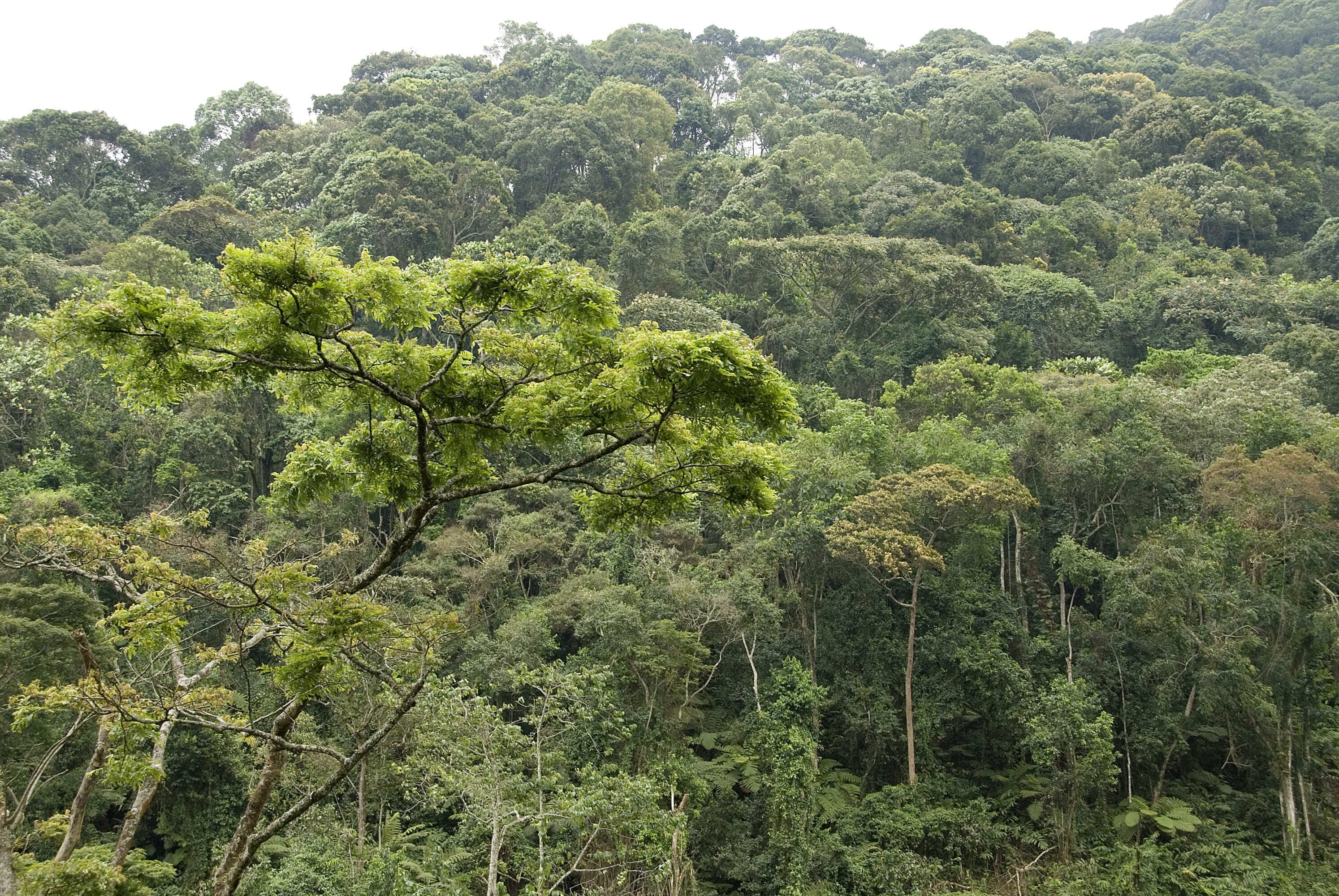
Photo credit: © Flavio Forner / Conservation International

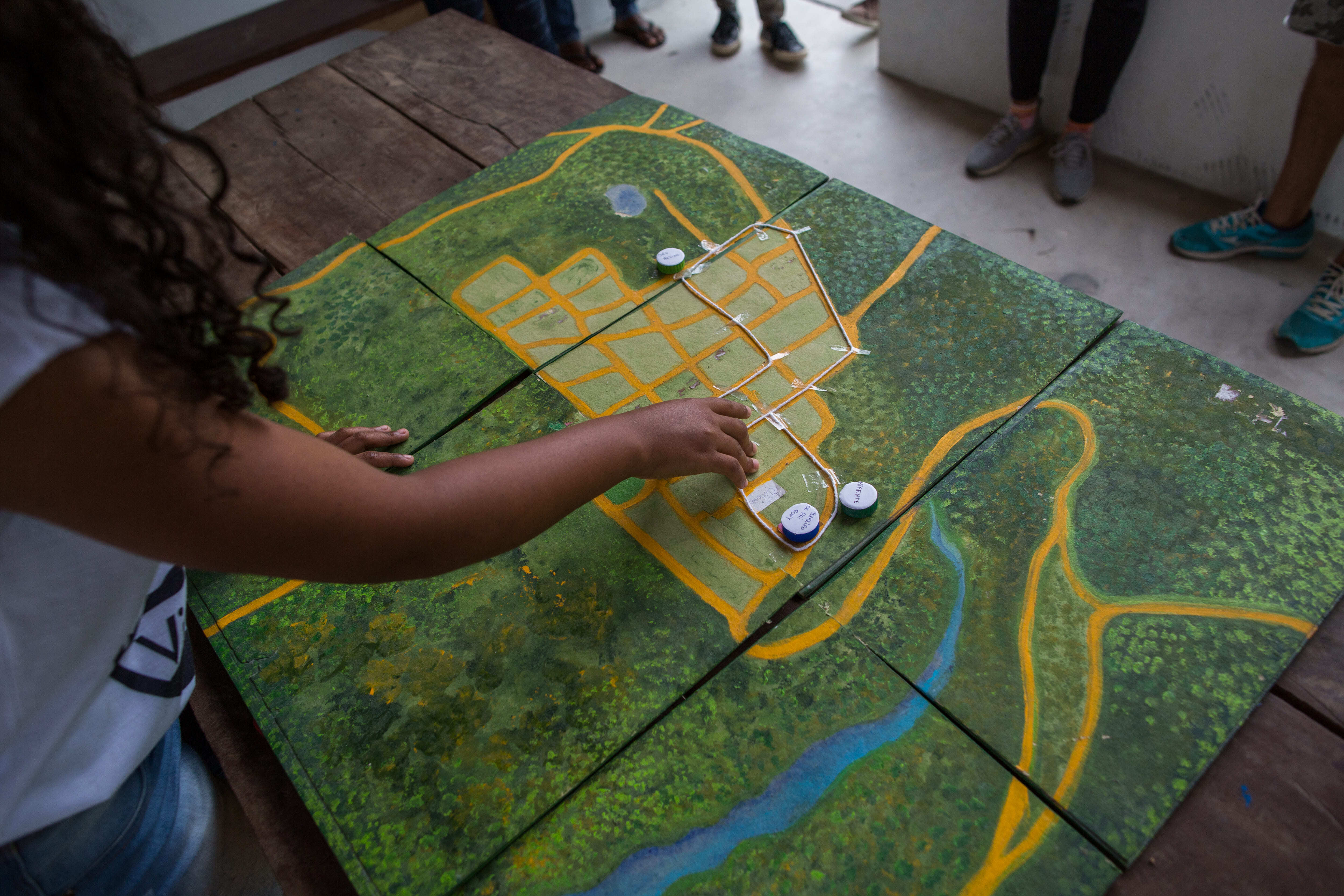

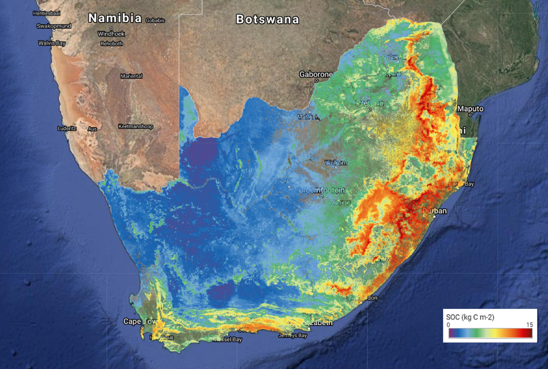


Spatial approaches are more than technical; they are a foundation for scaling restoration in inclusive, adaptive, and impactful ways. ERIP is strengthening national capacities and fostering local ownership of spatial systems, ensuring countries can confidently use geospatial data now and in the future.
The spatial framework will deepen regional collaboration through thematic exchanges, case studies, and innovation pilots, building a shared culture of spatial evidence and learning to support more effective and accountable restoration across all 20 countries.
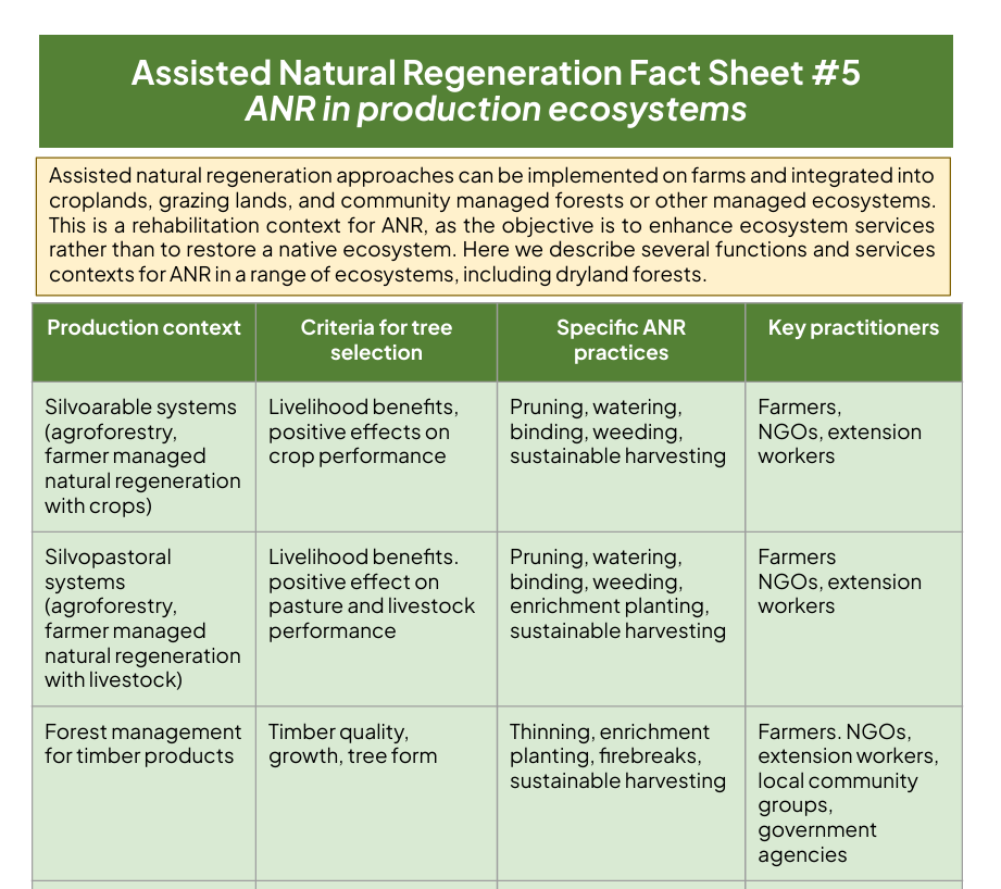
Part 5 of a series of factsheets on Assisted Natural Regeneration (ANR) created by a team of global experts on ANR led by renowned ecologist Robin Chazdon. This installment provides an overview of ANR’s implementation potential in productive ecosystems, and includes translations in English, French, Portuguese, and Spanish.
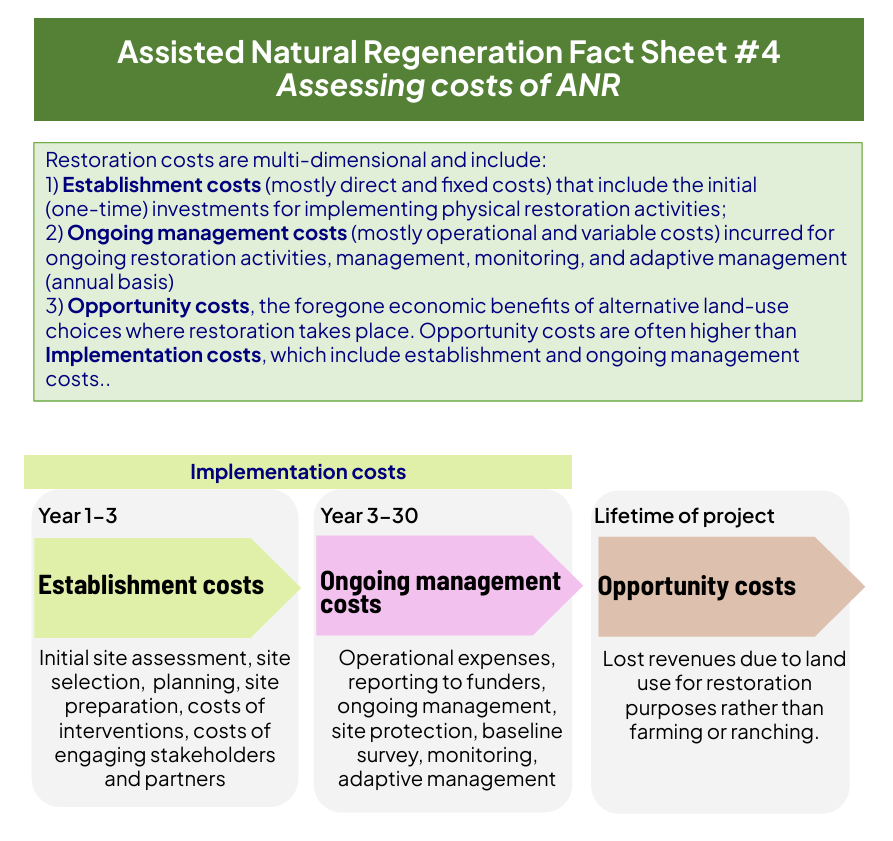
Part 4 of a series of factsheets on Assisted Natural Regeneration (ANR) created by a team of global experts on ANR led by renowned ecologist Robin Chazdon. This installment provides a framework for assessing the costs of ANR, and includes translations in English, French, Portuguese, and Spanish.
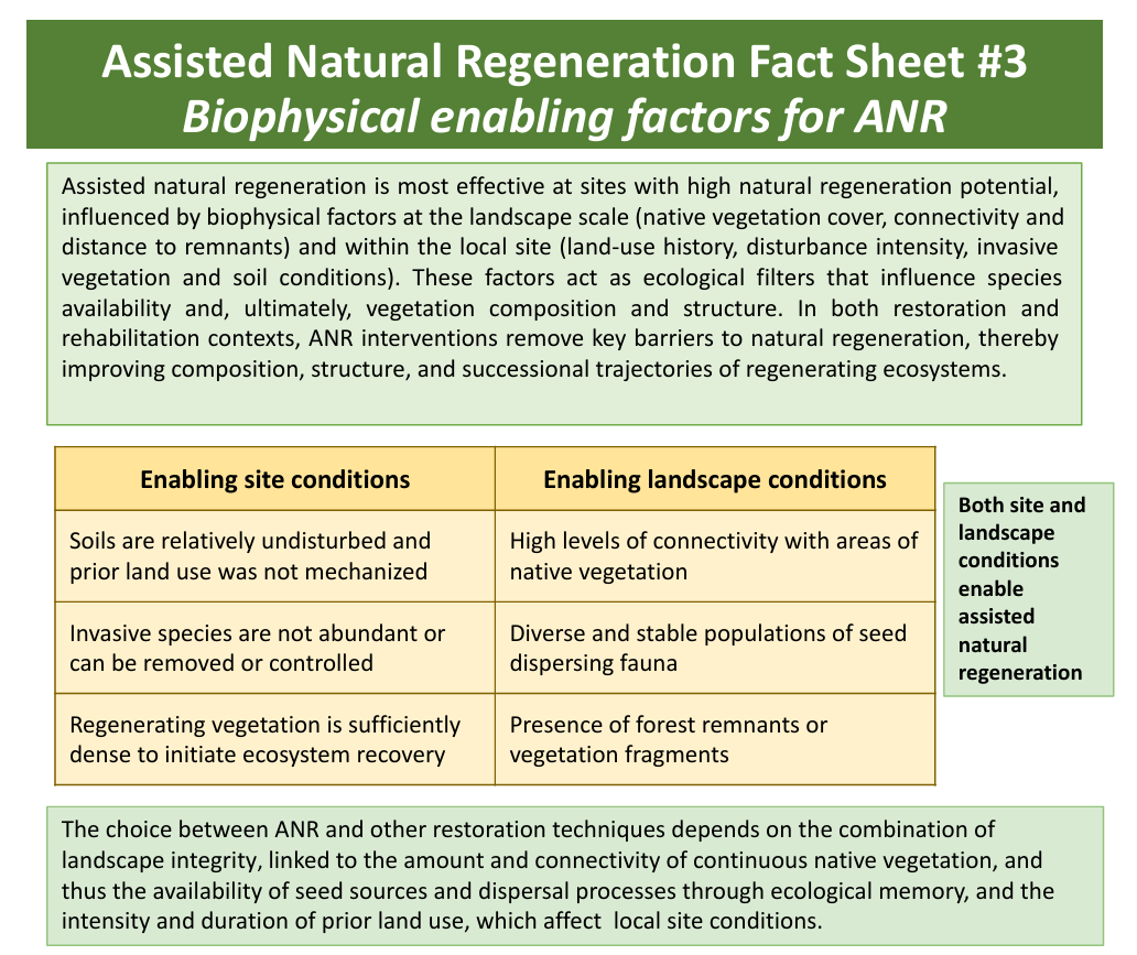
Part 3 of a series of factsheets on Assisted Natural Regeneration (ANR) created by a team of global experts on ANR led by renowned ecologist Robin Chazdon. This installment provides an overview of ANR’s biophysical enabling factors, and includes translations in English, French, Portuguese, and Spanish.